Croatian programmer maps about 5,500 heritage sites with "HeritageMap"
Marko Mlinarević from Osijek mapped ruins, submerged archaeological sites and found over 4,800 locations missing Wikipedia articles.
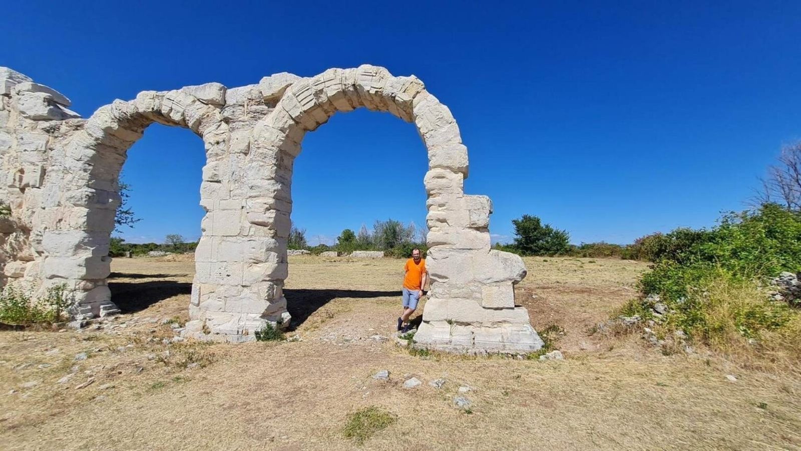
A programmer from Osijek has compiled an extensive free interactive map called "HeritageMap" that documents thousands of Croatia's lesser-known cultural and historical sites. The project lists roughly 5,500 locations, from ruined castles and forgotten fortresses to small churches and archaeological spots rarely mentioned in guidebooks.
From weekend hobby to a public resource
Marko Mlinarević built the first version of the map in about a month, working one to two hours a day and on weekends. He expanded the project over time to include walking routes, estimated travel times and difficulty assessments for reaching many of the marked places.
While collecting the entries, Mlinarević discovered that more than 4,800 of the sites have no dedicated Wikipedia article in any language. Around 600 locations had barely any description at all — often only a name, a coordinate and a note that the site is legally protected as cultural heritage.
The map also highlights a surprising number of submerged locations: 168 underwater or partially preserved archaeological sites, including shipwrecks and ancient harbors.
Data for HeritageMap is drawn from public registers, Wikipedia, OpenStreetMap and other open sources. The map is free for anyone to use — visitors can search for nearby sites or plan trips to remote ruins and historical points of interest.
Mlinarević funds the project through voluntary donations and says the largest expense is his own time. He continues to update and refine the map while keeping it freely accessible to the public.
Photo: press material from the event