Meteorologist Ivan Ristić: Super El Niño may bring colder, snowier winter
Ristić links a very strong El Niño and high sea-surface anomalies in October to reduced tropical activity and a greater likelihood of cold, snowy periods.
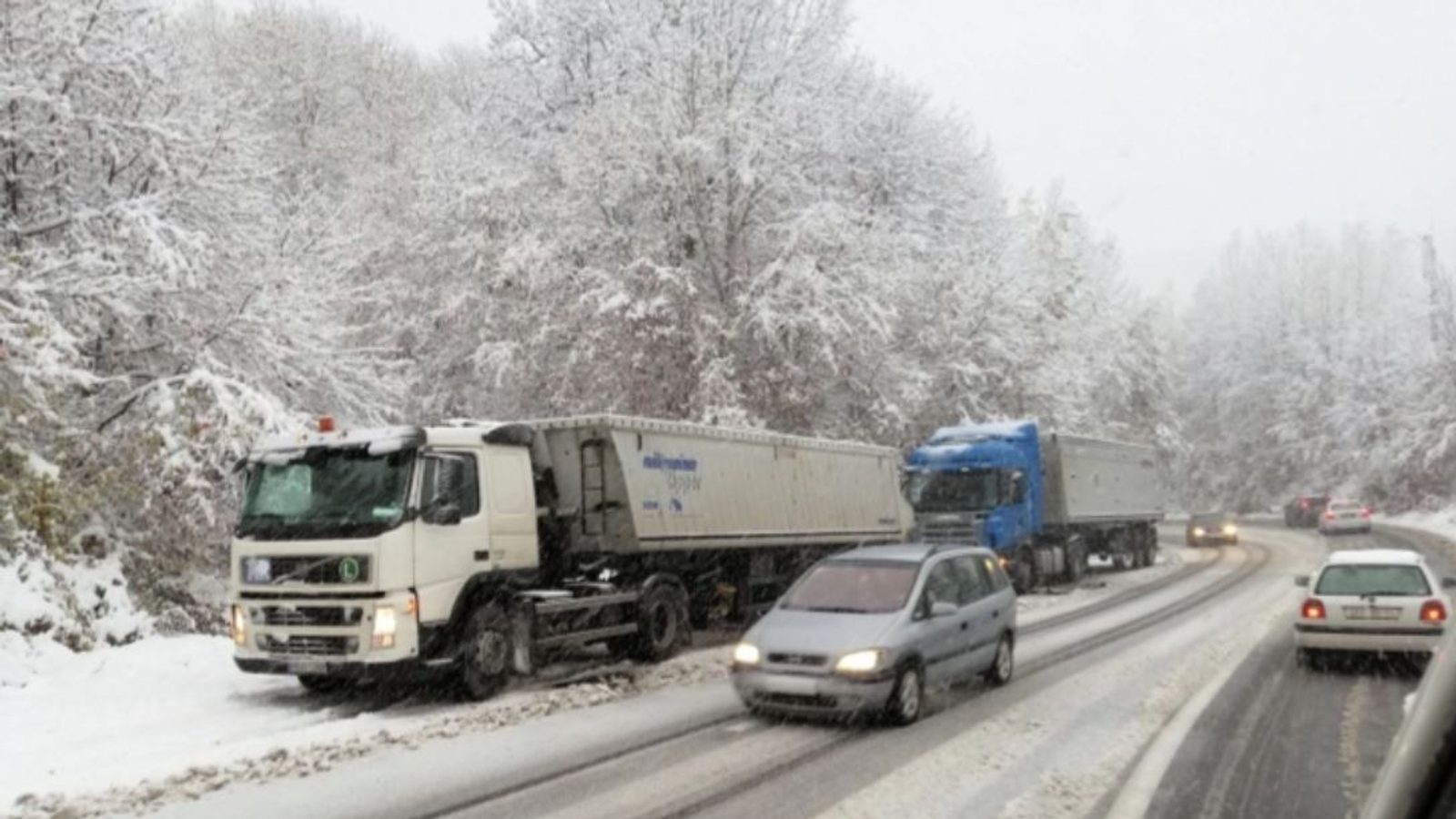
Meteorologist Ivan Ristić warned that the coming winter could be colder and bring heavier snowfall, linking the outlook to the influence of a strong Super El Niño on atmospheric patterns over the Atlantic.
Models point to reduced tropical activity and stronger cold spells
Ristić said that the cyclones which produce large thawing episodes in winter—so-called “winter killers”—often originate in the same regions where hurricanes form, and that a powerful El Niño would tend to suppress tropical activity across the Atlantic. He noted an independent analysis showing October conditions are likely to be unfavourable for the development of tropical systems in the Atlantic.
He highlighted numerical forecasts from the NMME: "The forecast for the sea surface temperature anomaly for October, provided by the NMME, shows an extremely warm anomaly associated with the Super El Niño. In the central part of these anomalies, sea surface temperatures exceed 5 degrees above average, corresponding to a very strong El Niño," Ristić said.
According to Ristić, that pattern in the atmosphere can translate into more frequent cold and snowy spells and fewer thawing events that otherwise break cold outbreaks. The mechanism he describes is that less tropical activity reduces the generation of the deep cyclones that later move toward higher latitudes and produce strong warm intrusions.
He emphasized that this is a long-range assessment and that the picture for the winter will be refined as the season approaches and more observations are assimilated into the models.
Photo: press material from the event