Why your weather app can show sun while it's raining outside
A phone’s sun icon is a simplified view of complex models, radars and local measurements — and cannot always capture street‑level rain.
Published: 28 August, 2026 11:00.
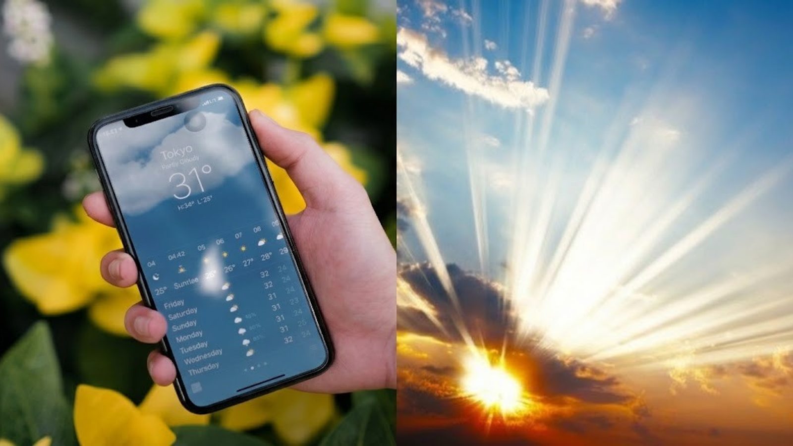
Seeing a bright sun on your phone while rain falls outside is a common annoyance. The tiny icon on a weather app, however, is a simplification: behind it sit numerical models, radars, satellites, measuring stations and supercomputers that together produce forecasts — and sometimes disagree with conditions at a given street corner.
How the models work
Numerical weather prediction represents the atmosphere as a three‑dimensional grid of points. For each grid cell the models compute temperature, pressure, wind, humidity, cloudiness and precipitation. The map your phone shows typically takes the value from the nearest grid point or an average from several points — not a prediction targeted to a single street, neighborhood or household.
That is why short, intense, and highly local phenomena — sudden downpours, thunderstorms, hail, valley fog or gusty winds in mountain terrain — are the hardest to capture. Models can reliably forecast that a cold front is approaching, or that temperatures will fall and winds will increase, but they often cannot say with certainty whether rain will fall in a specific municipal district at 16:00 or a storm will pass a few kilometers away. Current artificial intelligence systems improve processing speed and pattern recognition but do not remove this fundamental spatial limitation.
Built‑in services such as Apple Weather, Google Weather, Samsung Weather and Xiaomi Weather are convenient because they come preinstalled. Rather than being a single national forecast, these apps usually aggregate data from multiple meteorological services (NOAA, Met Office, Meteoalarm), private providers, global models (ECMWF) and proprietary algorithms. For example, Apple Weather is not a direct mirror of ECMWF, and Google develops AI‑based forecasting tools like GraphCast (a Google DeepMind model) and a broader system called WeatherNext.
For planning outdoor activities it helps to combine several sources: current measurements from local stations, radar imagery showing where rain is and where it’s moving, model guidance on atmospheric development, and professional forecasts that integrate all these inputs with local experience. Official national hydrometeorological services often provide the most detailed local products.
Weather apps remain valuable: they show trends, probabilities and a quick impression of whether the next few days will be warmer or wetter. The mistake is to trust a single icon as if it were a precise, street‑level prediction. For farmers, builders, event planners, drivers and tourism workers, the best practice is to consult multiple tools and the official service before making operational decisions.
Photo: press material from the event