UN General Assembly backs more realistic world maps; US opposed
A resolution proposed by Togo and the African Union urges use of equal‑area projections to better reflect Africa’s size; it is non‑binding.
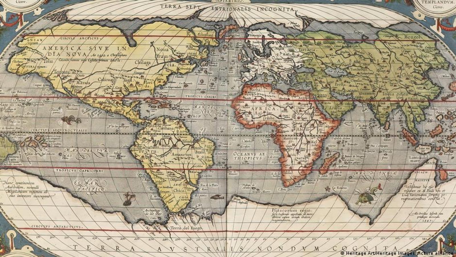
The United Nations General Assembly adopted a non‑binding resolution on September 5, 2026, urging states and international organisations to make greater use of equal‑area world maps such as the "Equal Earth" projection. The measure, put forward by Togo and the African Union, passed with 164 votes in favour; the United States was the sole country to vote against and six members abstained.
Why the change was proposed
The resolution responds to long‑standing concerns that commonly used projections—most famously the Mercator map—distort the relative sizes of countries and continents. On Mercator maps, areas farther from the equator appear larger, which makes Greenland look roughly the size of Africa even though Africa is about 14 times larger in reality. The Equal Earth projection preserves area relationships, so continents such as Africa appear much closer to their true scale.
Robert Dussey, Togo's foreign minister and a sponsor of the draft, told the Assembly that “Maps are never neutral.” He argued the way maps have been drawn for decades has reinforced skewed perceptions of the world and said on social media after the vote: “This is about justice, dignity, equality and the way we represent our world.”
The United States criticised the initiative as, in its words, "ideological," saying it diverts attention from pressing international problems. Delegates noted the resolution does not prohibit the use of other projections and is not legally binding; it simply recommends that equal‑area maps be used more often when angular accuracy is not required.
Speakers also emphasised the technical reasons behind any map's distortions. Turning the Earth's spherical surface into a flat image inevitably introduces trade‑offs—much like trying to lay an orange peel flat on a table. Different projections prioritise different properties: the Mercator preserves compass directions and shapes at small scales, which is why it remained central to navigation, while equal‑area projections prioritise correct area relationships.
Several delegates pointed out a simple educational remedy: for teaching the planet's true shape and relative size, the globe remains the most accurate visual tool. The resolution, supporters said, is intended to encourage more truthful representations of geography in classrooms, media and public institutions.
Photo: press material from the event