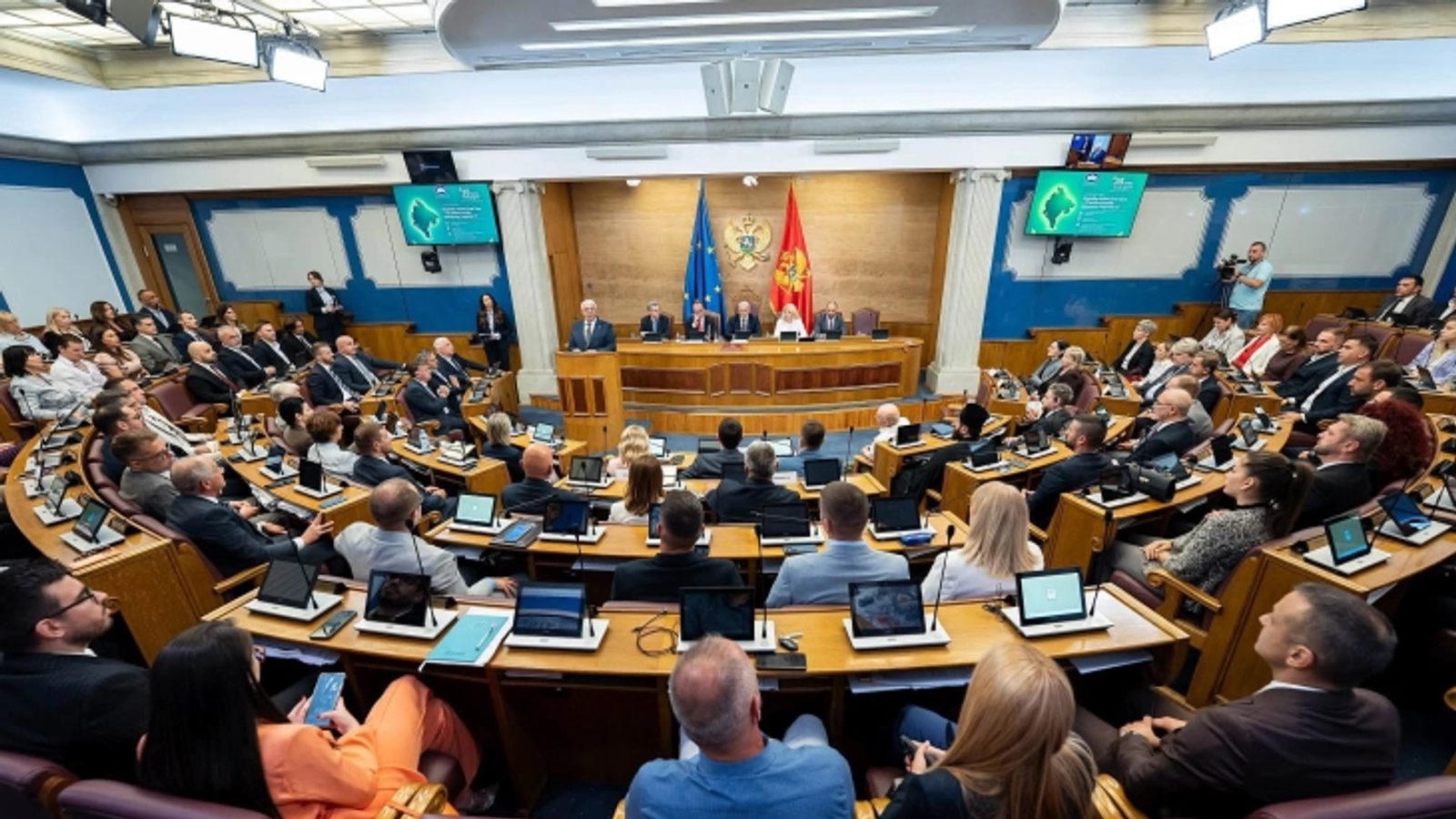
UN adopts 'Correct the Map' resolution to rebalance world maps
The resolution, sponsored by African Union members and the Bahamas, passed 164–6 with the United States the sole no vote.
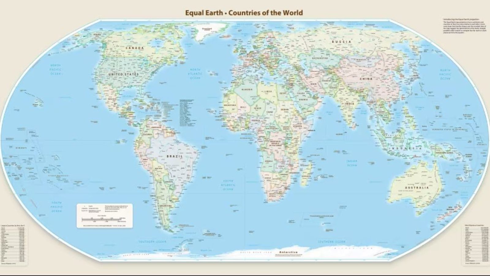
The United Nations General Assembly adopted the resolution "Correct the Map" on 4 September 2026, aiming to change how world maps represent the relative sizes of regions. The text was put forward by member states of the African Union together with the Bahamas.
The measure passed with broad support: 164 countries voted in favor, six abstained, and the United States was the only country to vote against the resolution. Supporters say the move is intended to give a fairer visual representation of regions that have been reduced by long-established map projections.
Why the change was proposed
The resolution challenges the widespread use of the Mercator projection, created by Gerard Mercator in 1569. While Mercator is useful for navigation because lines of constant bearing are straight, it enlarges landmasses farther from the equator, producing misleading visual impressions of size.
Critics point to familiar distortions: on many Mercator-based maps Greenland appears larger than South America and comparable in size to Africa. In reality, Greenland is roughly the size of the Democratic Republic of the Congo, and Africa is about 14 times larger than Greenland. Advocates of the resolution argue that such distortions have helped centre Europe and North America and reinforced imbalanced worldviews.
The text of the resolution itself notes "with concern that this distortion contributes to minimizing the perceived sizes of Africa, Latin America and South Asia and fostering an unbalanced view of the world." The vote signals a diplomatic push to encourage alternative map representations in educational, cartographic and diplomatic contexts.
Photo: press material from the event