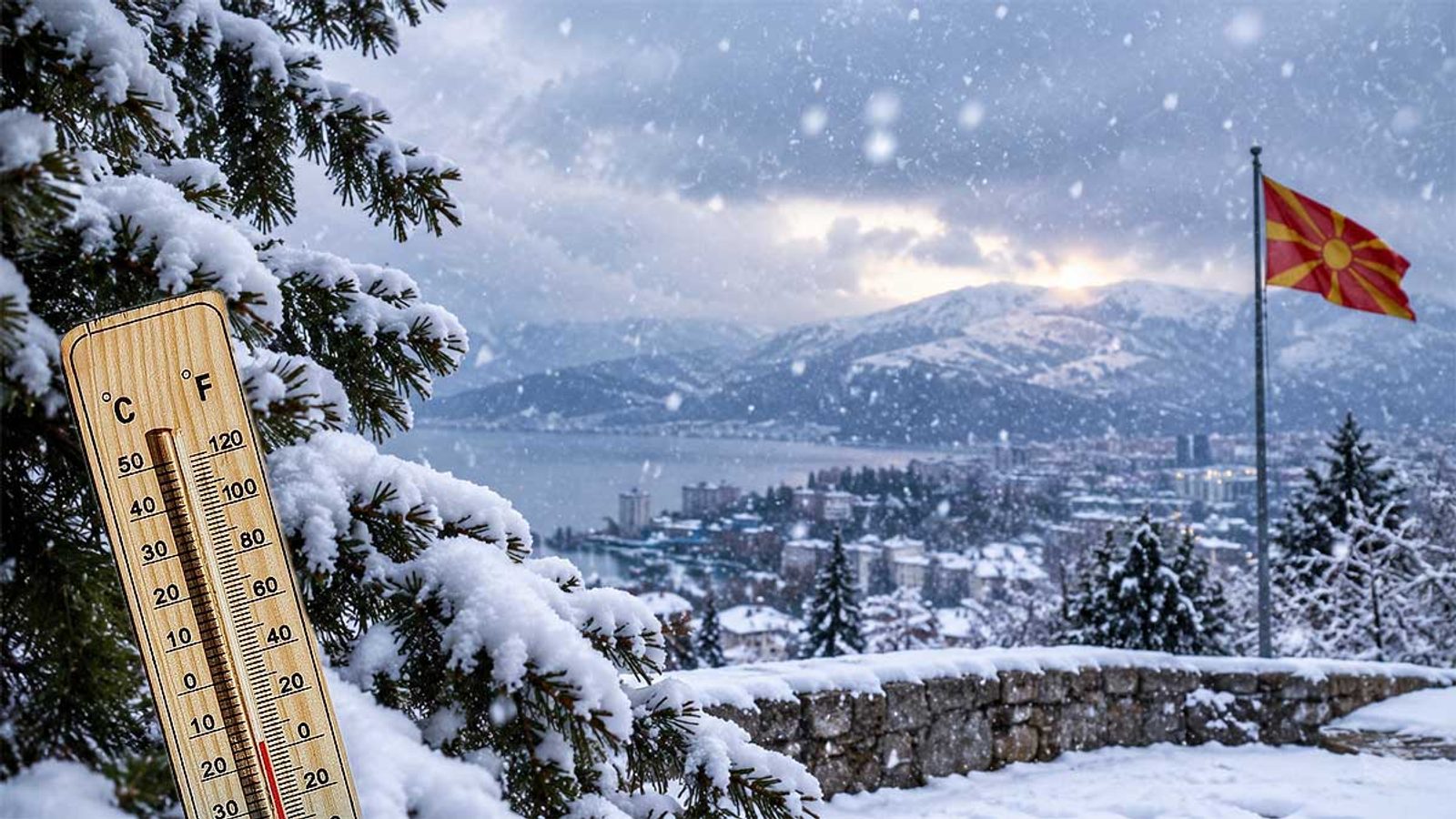
Winter 2026/2027 outlook: below-average snow across much of Europe as El Niño strengthens
Seasonal ECMWF and UKMO signals point to less snow in lowlands and mid-altitudes, with better prospects only in the far north and high mountains.
The first seasonal outlooks for winter 2026/2027 point to a broadly reduced snow season across much of Europe, especially in lowland and mid-altitude areas. Current seasonal model runs show a pattern that favors milder, wetter conditions for large parts of the continent while leaving the best chances for snow in northern and high-mountain regions.
What the models are signalling
Analyses of the European Centre for Medium-Range Weather Forecasts (ECMWF) and the UK Met Office (UKMO) seasonal predictions display a similar tendency: below-average snowfall for much of Europe. That pattern is linked to a prevailing west to southwest flow drawing moist, relatively warm air from the Atlantic — a setup that can increase precipitation totals but reduce the fraction that falls as snow at lower elevations.
December looks likely to bring a weak start to the snow season in many lowland areas, with January showing little change in the large-scale signal. Forecasts currently highlight February as the month with the largest shortfall versus long-term snow averages for parts of central, western, northwestern and southern Europe — though models report seasonal totals relative to climatology, not the timing of individual snowstorms.
High Alpine zones are an important exception. Above roughly 1.800 to 2.000 metres — particularly in the western and central Alps — colder temperatures at altitude mean abundant Atlantic moisture is more likely to fall as snow, improving prospects for higher ski resorts while lower centres remain vulnerable to rain during mild spells.
El Niño and the Atlantic connections are central to the outlook. Observations show El Niño continuing to strengthen, and forecasts indicate it could reach an exceptionally strong intensity through autumn and into early winter. That phenomenon shifts jet-stream positions, the behaviour of the polar vortex and North Atlantic atmospheric circulation — all factors that shape where cold air and storms track across Europe.
North America is projected to experience a different winter picture: a strong El Niño tends to favour enhanced snowfall in parts of the central and eastern United States and some southwestern regions, while other areas — including parts of the northern U.S. and southern Canada — may see below-average snow. Seasonal forecasts cannot, however, tell whether a specific city will have snow on particular dates such as Christmas or New Year’s Day.
Photo: press material from the event